El Malpais and El Morro National Monuments in New Mexico
Nov. 2021

El Morro, NM
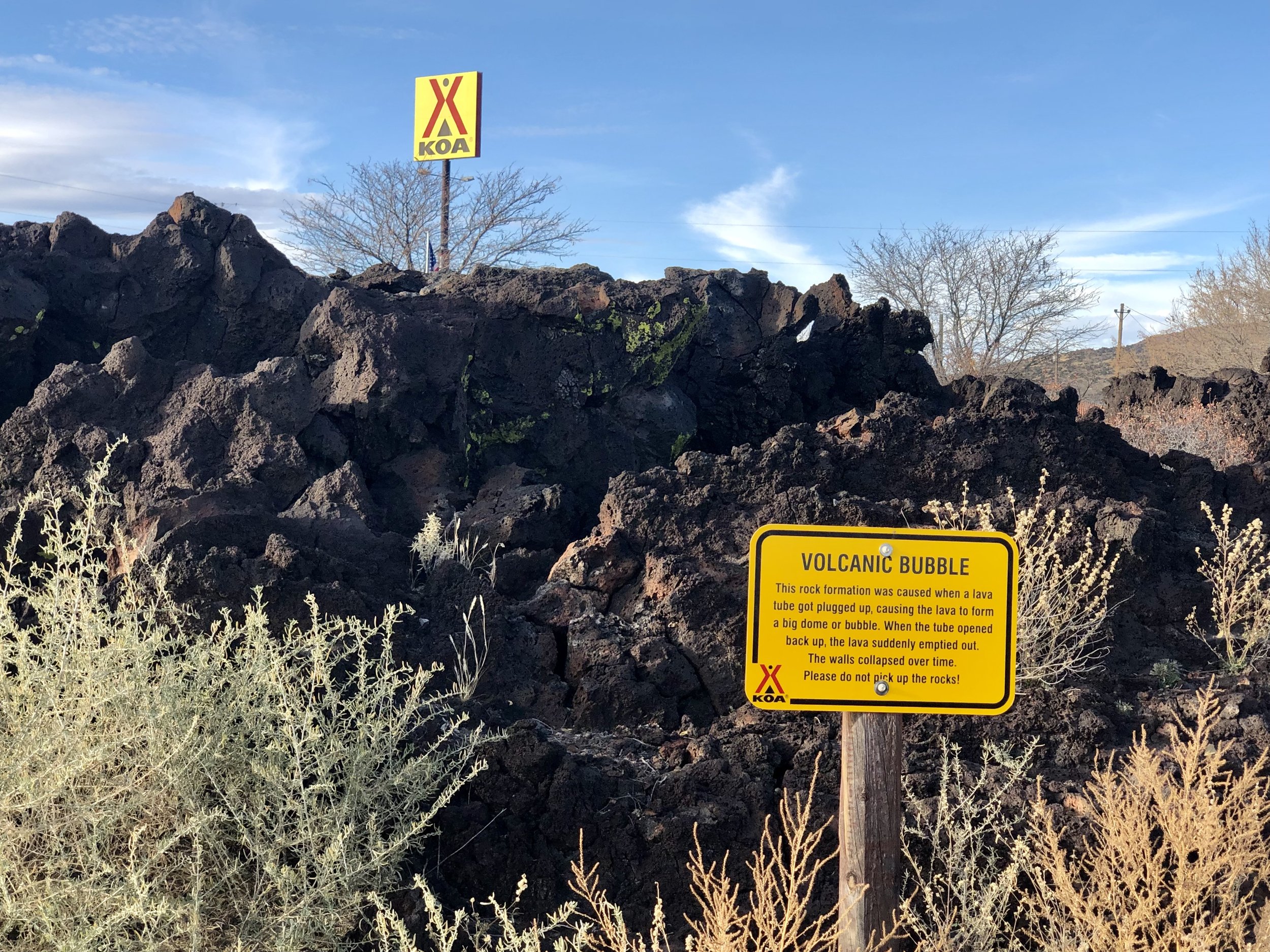
Just off I-40 in western New Mexico, we stayed at a KOA campground in Grants, so that we could visit El Morro and El Malpais Natl. Monuments. This KOA had a short trail along an ancient lava flow, so we could see the lava rocks up close. El Morro, meaning “The Headland” is a small, very interesting park site, with great trails and lots of scenery and history. It was an important place for Native Americans and travelers for hundreds of years because of a constant water source. There are petroglyphs and ancient pueblo ruins, as well as hundreds of names and dates carved into the rock by Spanish explorers and American pioneers.
We began our hike 200 feet up to the top of the headland, where we saw the Native American ruins hundreds of years old.
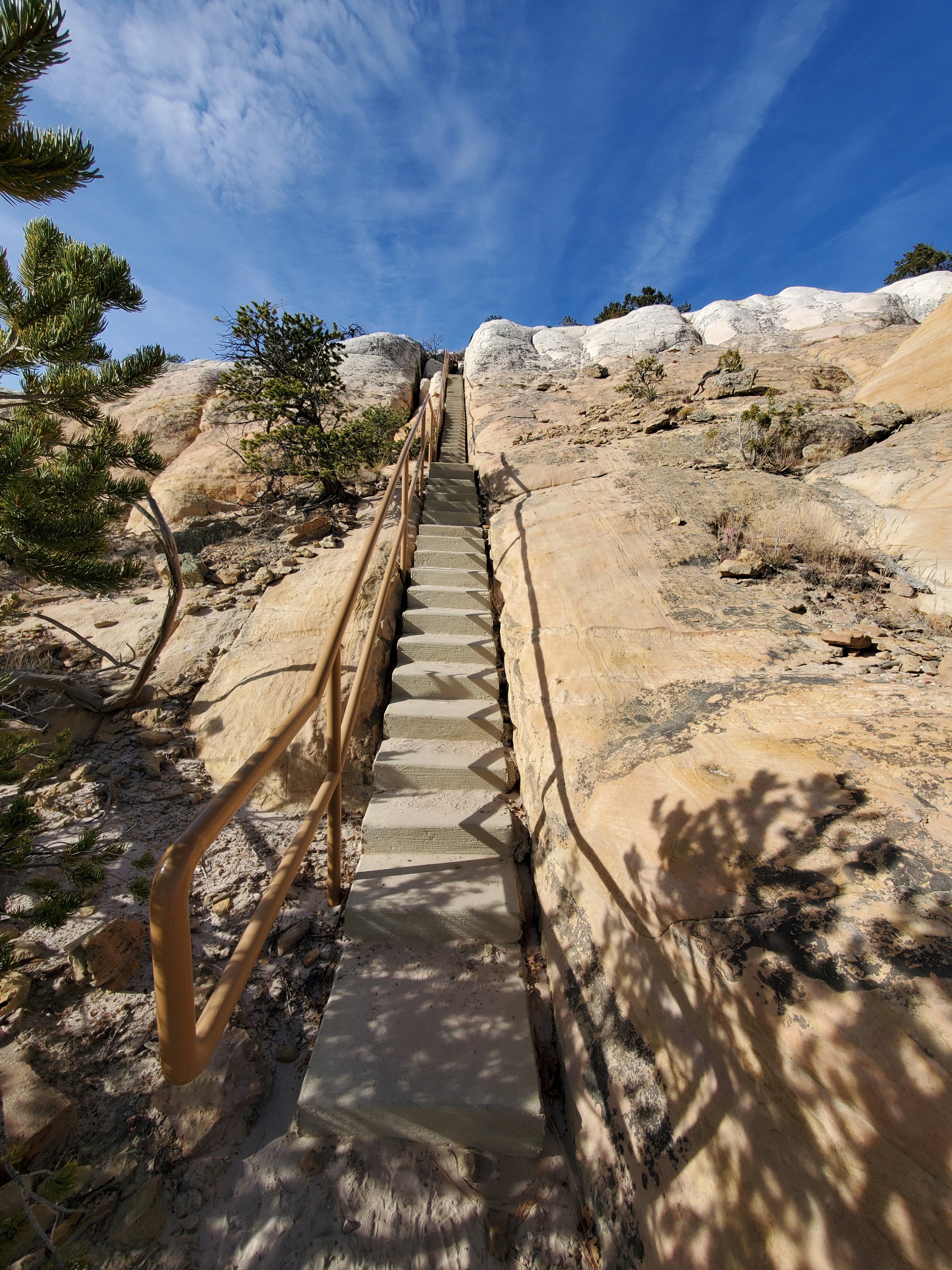
A little bit of an uphill climb, but it was a nice, cool day, so it was not hard.

The view on the way up

Part of the ancient ruins built by ancestors of the Zuni tribe. Excavation has stopped because the exposed ruins are deteriorating. Now the focus is on preservation.
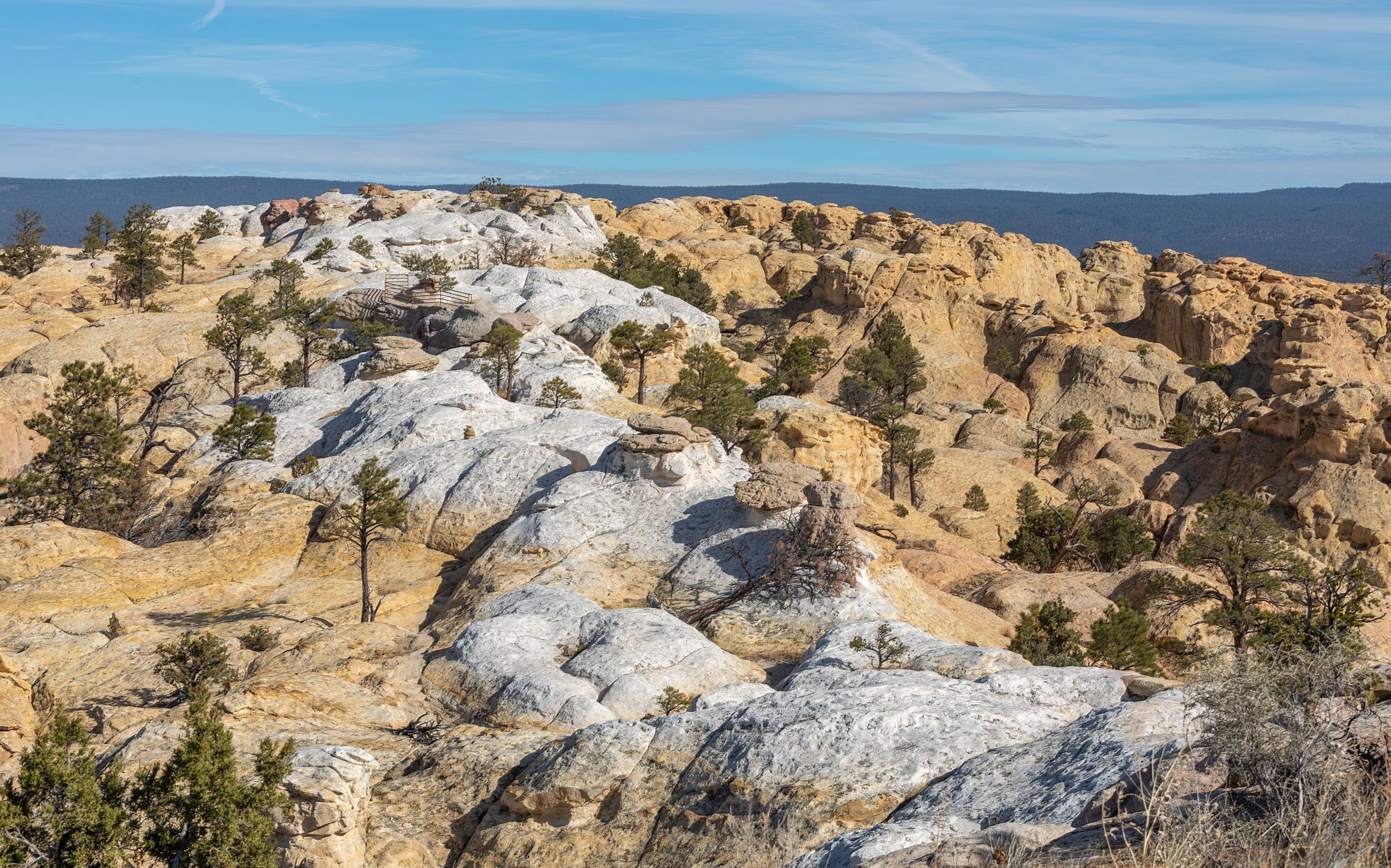
Near the top of the white rocks, you can see a railing where part of the trail is cut into the rock. It was pretty windy up there that day! We really liked this trail. The view was excellent, and the rocks were fun.


Continuing our way around the top of the headland, we came upon this funny-looking tree that is growing sideways along the rock! From here, we worked our way down to the base of the rock to see the carvings next.

One of the oldest inscriptions we saw, other than ancient petroglyphs, was one in Spanish dated 1692, by a conquistador who claimed New Mexico for Spain. We also saw one dated 1605 by another Spanish explorer! We couldn’t get good pictures of them, though.


We thought this was a pretty fancy inscription!
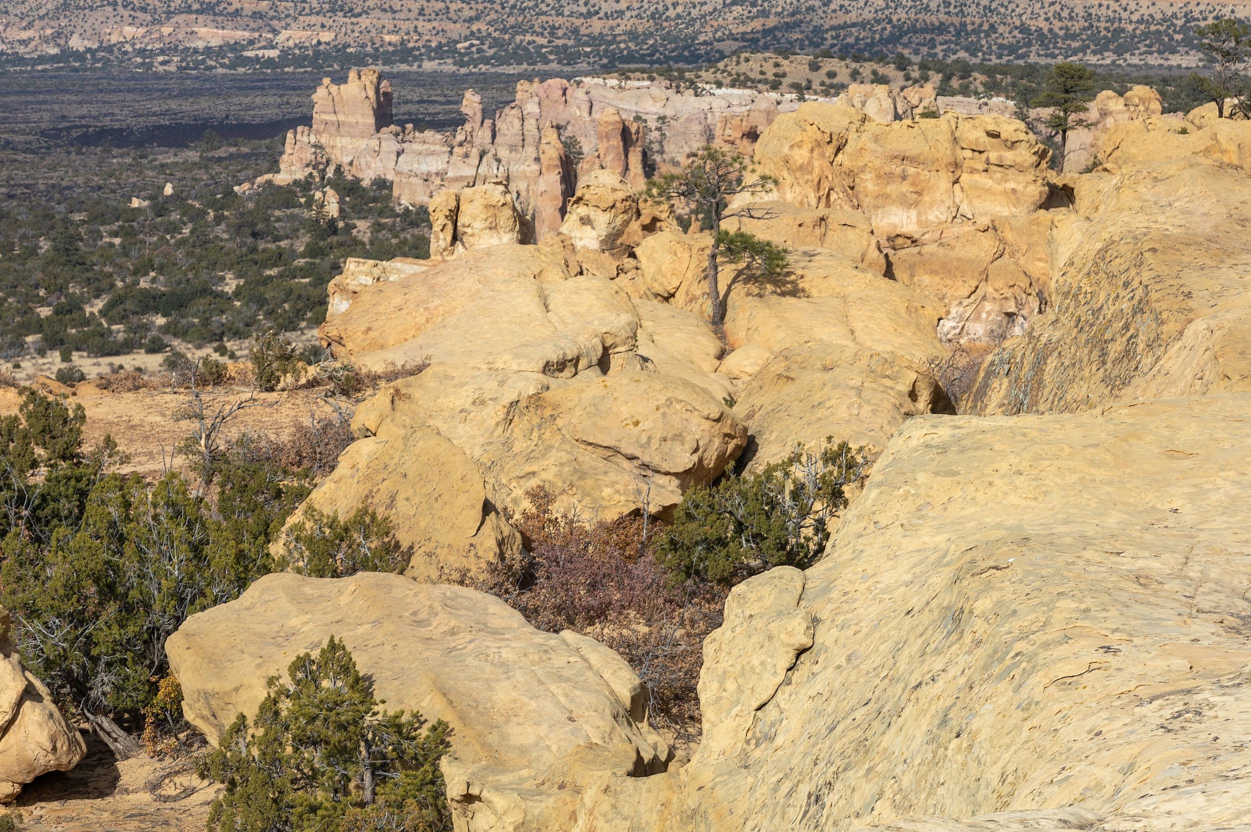
We spent a longer time at El Morro than we had expected. We really enjoyed it here. We then visited a small part of El Malpais, which means “The Badlands”, because so much of it is covered in a lava field, with jagged black rocks. We drove NM Rt. 117 south of I-40 to see the eastern side of the park. We spent most of our time at the Sandstone Bluffs Overlook. We had a great view from there, and could see some of the lava field below.


We had fun walking around the rocks here. We didn’t have enough time to drive all the way down to the lava fields trail, and anyway, we had already seen lava fields at Craters of the Moon. So, our only other stop at El Malpais was to La Ventana Arch.

After this, we headed south. The nights were getting pretty cold this time of year (mid-November) in this part of New Mexico, so it was time to move on. We stopped for one night at a campground just outside of Bosque del Apache National Wildlife Refuge. Fall is a great time to visit to see migrating sandhill cranes and snow geese. As the sun was getting low in the sky, we drove the north loop of the scenic drive to a spot where there were a lot of birds pretty close to a parking area. The birds gather in a marshy area shortly before nightfall. Even though we were as close as was allowed, I still wished for a longer telephoto lens! It was tough to get decent photos in the evening light. We saw quite a few photographers with huge lenses!

sandhill crane

snow geese

We saw a huge “cloud” of red-winged blackbirds. They flew like a murmuration of starlings, but stayed close to the ground.
We saw several duck species here, including the northern shoveler, American coot, bufflehead, and northern pintail. We also saw a bald eagle sitting on a lone dead tree above the water.
From here, we continued our journey south to the National Parks in southern New Mexico, which will be the subject of my next post.