Idaho: not just potatoes!
June/July 2021

City of Rocks National Reserve
Until this trip, the only time we’d spent in Idaho was on I-84 on our way to Oregon. Not very exciting. But we found out there is so much more to this big state! We spent about 3 weeks exploring the southern portion. We visited Shoshone Falls in the city of Twin Falls. It was past its peak flow because, by June, a lot of water from the Snake River is diverted for farm irrigation. The falls were still big and beautiful, though.

Then we went to City of Rocks National Reserve, a unit of the National Park Service. It is considered a world-class rock-climbing area, and we saw many people on climbs. The rock formations are really interesting, and there were lots of nice, primitive campsites with great views. We had a picnic in the shade overlooking the rocks. One formation is called Bread Loaves, and it really did look like a sliced loaf of bread! We saw a rock climber on it.

A rock climber at the center of the Bread Loaf.

I thought this rock looked like a funny face!
If we could do it over, we would have stayed at Three Island Crossing State Park instead of Bruneau Dunes, because there was an early heat wave with practically no shade in our campsite at the Dunes. It was about 99 degrees outside, and the insulation in the RV is about equal to that of a styrofoam cup. The air conditioner struggled to get the air temp below 85 degrees inside. After that, we bought a big roll of reflective material that Craig cut to fit the windows and skylights, to help keep the RV cooler. The only time we went to the dunes was early morning. Craig climbed up the smaller dune. The other dune is the tallest freestanding dune in the U.S. We were disappointed that due to Covid, the observatory was closed.

We saw a beautiful sunset from our campground that colored the dunes, which are normally pretty dull in color.

Craig walking on top of the dune
Three Island Crossing State Park was prettier and had more shade than Bruneau Dunes. The park is just downstream from the site where pioneers the crossed the Snake River on the Oregon trail. It was a difficult, dangerous crossing. Some people hired Native Americans to guide them across safely. If the river was high, many pioneers chose not to cross, but travelled the hot, dry southern route, instead. The town where the park is located is called Glenns Ferry, because in 1869, a man surnamed Glenn built a ferry to transport wagons across the river, although it was expensive.

Three Island Crossing, viewed from the hill on the south side of the Snake River
Not too far from Bruneau Dunes was the Bruneau Canyon overlook. The overlook was down several miles of dirt road on remote BLM land. That overlook is the only spot from where you can see the canyon, unless you boat or hike in even more remote areas. It’s 60 miles long, but we could see only the northernmost point. At the overlook, the opposite rim is 1300’ away, and the river is 800’ below. On the way, we travelled through high plains with nothing around, and didn’t see the canyon until we were right above it.


On the way to the canyon—No worries—they don’t drop actual bombs!
Craters of the Moon Nat’l Monument was on our list of must-sees. It looks like a sea of black jagged lava, and reminded us of Hawai’i. It doesn’t look like anything could live there, but we saw mountain bluebirds bringing food to their babies in their nests hidden in rock crevices.
We headed down the scenic drive, first stopping at the trailhead for the North Crater Trail. We didn’t go too far, but climbed high enough to see some of the volcanic cones.

Then we stopped at the Devils Garden Nature Trail, a short, easy trail where we could walk close to some interesting lava formations. Continuing from there, we made it a priority to see the Inferno Cone. It’s a short but steep hike up a cinder cone. I went up only partway, but Craig climbed to the top.


Close by were some small spatter cones, formed by a different type of eruption than the cinder cones. We could walk around and up those cones.

We hiked one more trail at the end of the scenic drive to the Big Sink Overlook to see another big lava field. By this time, the sun was out from behind the clouds and it was warmer. We were glad we had brought water and snacks, as there was no food service at the visitor center, and it was a long drive to get to the park.
In eastern Idaho, we visited Mesa Falls and stayed at Henrys Lake State Park. The state park is only 15 miles from West Yellowstone. We had a great view of the lake and mountains from our campsite.


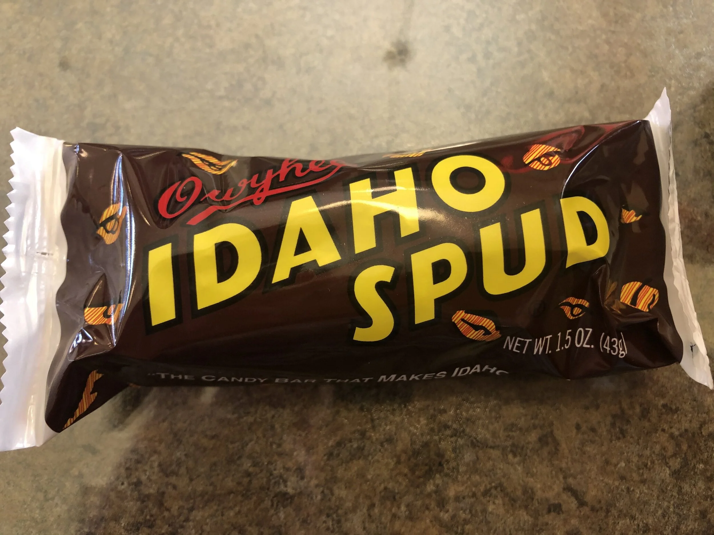
Since Idaho is known for potatoes, we just had to visit the Idaho Potato Museum in Blackfoot. The museum explained why so many potatoes are grown in Idaho (right climate and soil, lots of water). There was a little cafe attached to the museum where we had a delicious baked potato with toppings of our choice, and we were curious about a candy called Idaho Spud, so we had to try it! It was basically a chocolate fluff with a dark chocolate coating covered in coconut. It was pretty good!

One more place we stayed in southern Idaho was in Challis. There are a lot of hot springs in Idaho, so we decided to try one out! Challis Hot Springs was a nice, quiet, shady campground with 2 pools supplied with water from hot springs. One pool was too hot for us, but the other was great! Right outside the campground, we saw 2 bighorn sheep walking down the road!

Not a good photo, but we were in the car and I just quickly grabbed my phone.
We visited Bayhorse, a silver mining ghost town down a dirt road near Challis. It was small and mostly falling down, but it did tell the history and function of the buildings.

One day, we took the Salmon River Scenic Byway from Challis to Stanley. Stanley was a little town that caters to people wanting outdoor adventures such as rafting, fishing, and hiking. There was a beautiful view of the Sawtooth Mountains.

After leaving Challis, we headed back east toward Wyoming. As we were driving in central Idaho through the high desert, we see about a mile ahead (you can see for miles out here), a long, dark line snaking across the two-lane U.S. highway we’re on, and I said, “That looks like a cattle drive.” A bunch of ranchers on horseback and their cattle dogs were trying to herd their cattle across the road. They maneuvered their pickup and stock trailer onto the road and told us to stay close behind the car in front of us (to keep any wayward cow from trying to cross the road). So we followed while the truck, ranchers, and dogs all parted the waters, so to speak, of a sea of cows all mooing like crazy. We’ve been in bison jams, a wild burro jam, and even a goat traffic jam, but this was our first COW jam!

These aren’t good photo quality at all, but I was taking them with my phone through a very dirty RV windshield!
