Our First Visit to Yosemite National Park
(And the pluses and minuses of visiting in the fall.)
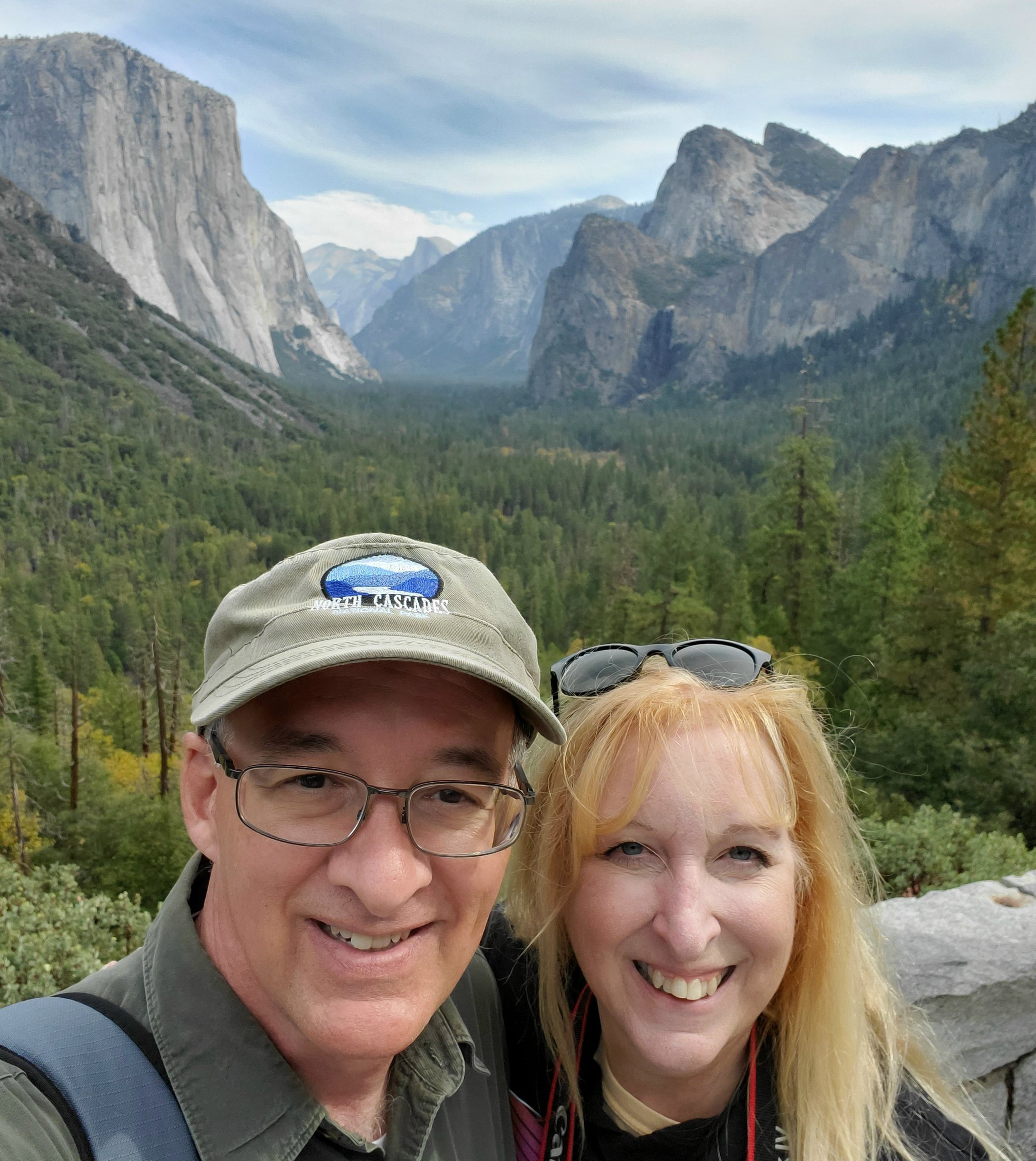
Oct. 2021

Tunnel View: El Capitan on the left, Half Dome in the background, and the Three Brothers on the right, with Bridalveil Falls just a trickle below Lower Brother.
Yosemite had been on our bucket list for some time, and we finally got here! We were totally blown away by its beauty. The views are breathtaking. Pictures can’t compare to actually being down in the valley looking up at the huge peaks of El Capitan, Half Dome, etc., towering above you, yet looking so close.
Autumn was an excellent time to visit because we didn’t have to deal with massive crowds or traffic and parking headaches. The air temperature started off chilly in the mornings, but warmed up later to be quite comfortable. There was not a lot of fall color, but what was present was pretty. The only downside to visiting in the fall was that most waterfalls are dried up by this time of year.


The dark spot in the center of the picture is where Yosemite Falls would be in spring. Photo taken from Cook’s Meadow. There was a unusually big rain and snow event the day after we left the area, and so we just missed seeing the falls flowing again.
On our first day, we visited the valley, and then drove up Glacier Point Road before the road was closed in advance of an expected snowstorm in the higher elevations. This view from Glacier Point was amazing. We could see the whole of Yosemite Valley.

The view was so expansive that my wide-angle lens couldn’t fit it all in. I guess I could have tried taking several shots to later stitch together in a panorama, but I didn’t think about it, since there were a lot of people up there. This spot and Tunnel View were the most popular spots and had the most people of all the places we visited in the park.

Half Dome seemed so close from this spot on the road to Glacier Point. No guard rails, either!
While we were in the valley, we watched some rock climbers slowly making their way down the side of El Capitan. It took a minute for us to see them, because the sheer face of the rock is so massive that they looked like tiny ants!

Where’s Waldo? The rock climbers are on this somewhere!

When this photo was taken, we were standing by the road not too far from the base of the mountain. This shot is zoomed in a little from what we could see with our own eyes. The climbers are just to the left of the tree.

This photo was taken at 200mm and still had to be heavily cropped to see the climbers.
We stopped by several other places in the valley our first day:

One of our favorite spots was Valley View. We loved the reflections in the water of El Capitan, Three Brothers, and the fall colors.


Last stop of the day: Tunnel View
That first night, it snowed a few inches in the higher elevations, so the Tioga Road was temporarily closed. We stayed in our campground one day, then the day after, we saw that the road to the Hetch Hetchy Valley was clear, so we drove there. Over a hundred years ago, there was a big argument over whether to preserve the area, or whether to construct a dam to provide water for San Francisco. Guess who won? It’s still beautiful, though. We walked across the dam and through a tunnel to a trail on the opposite shore above the lake.

View from the dam. In spring, there’s a waterfall to the left of the mini-El Capitan lookalike, and another waterfall at the right of its base, and the trail leads to these falls.

This was a nice easy trail, flat for a while before it climbed a bit. We could have walked farther where the dead orangey grass is, but since the falls were dried up, we decided not to keep going. We could see from the white line on the rocks how much the water level has dropped due to the drought. The views from this trail were really pretty.
After leaving the Hetch Hetchy Valley, we were going to go back to Yosemite Valley, but at the west entrance gate we found out that the Tioga Road was clear of snow and had reopened, so we decided to drive that road instead. The Tioga Road runs across the north side of the park, and is closed all winter. There was still snow along the sides of the road, so it was pretty. The first part of the drive is just going through forests for awhile. The photo below is of the first viewpoint along the road, and shows the snow. It wasn’t a big snowfall—maybe three inches or so.

Our next stop was Olmsted Point. We could see the back side of Half Dome. It looked like there was a nice trail from there, but there was still snow on the ground, so we didn’t walk it.


Just past Olmsted Point, there was a beautiful view of the mountains surrounding Lake Tenaya.


Lake Tenaya
We drove farther to Tuolomme Meadows. Apparently it is a lovely spot in summer when the wildflowers bloom. It was mostly snow-covered when we saw it. We turned around here to head back to the RV park, as it was late in the afternoon by this time, and we didn’t want to drive the windy roads in the dark.

Tuolomme Meadows
On our last day, we visited Yosemite Valley again. We wanted to view the mountains and their reflections from some of the little bridges. We also wanted to hike to Mirror Lake, although we knew the lake was dried up at this time. The problem was, we couldn’t figure out how to get to the trailhead. In the valley, the main road is a one-way loop, with several small roads crisscrossing the loop. These small roads get very confusing, as the signs don’t always list everything, and you get all mixed-up in your directions, especially since the names of some places changed a couple years ago, and what’s on the map vs. what’s on the signs doesn’t always match. Also, no shuttles were running this year, so the shuttle stop number signs were covered up. If the signs had been uncovered, we would have had a better idea of exactly where we were, and which direction to go. (Although if the shuttles had been running, we would have taken one!) So, we ended up walking and walking till we finally found Upper Pines Campground where the trailhead was. We didn’t drive there because we never saw any road signs for the campground, and we always seemed to keep driving on the same roads over and over. We were sore after walking a total for the day of 8 miles, most of which was on hard pavement. (The trail itself to Mirror Lake is only about 2 miles, so we walked a lot more than we had to.) We would hike it in spring when there’s an actual lake, but at this time of year, it wasn’t worth what we went through!

Funny cairn forest on the Mirror Lake trail.

Autumn reflection from a bridge somewhere on our hike looking for the Mirror Lake trail.

Reflection from a different bridge near Cook’s Meadow
Before we left, we took one last look at Valley View and at Tunnel View. We are looking forward to returning in the spring!

